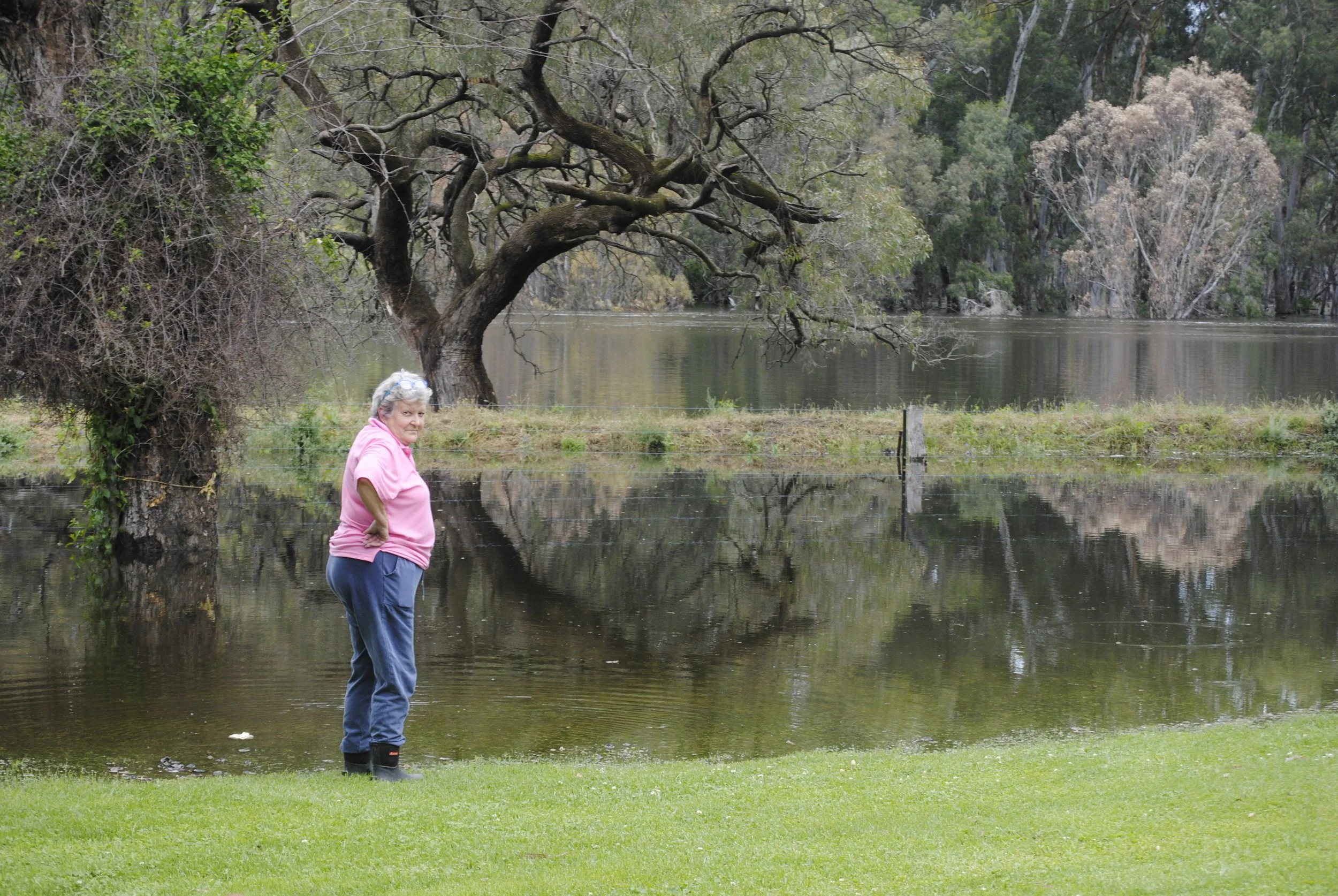
River to peak at 9.2 metres today
The river at Hay is expected to peak today at 9.2m with further peaks anticipated in coming weeks.
The peak in 2012 was 8.99m.
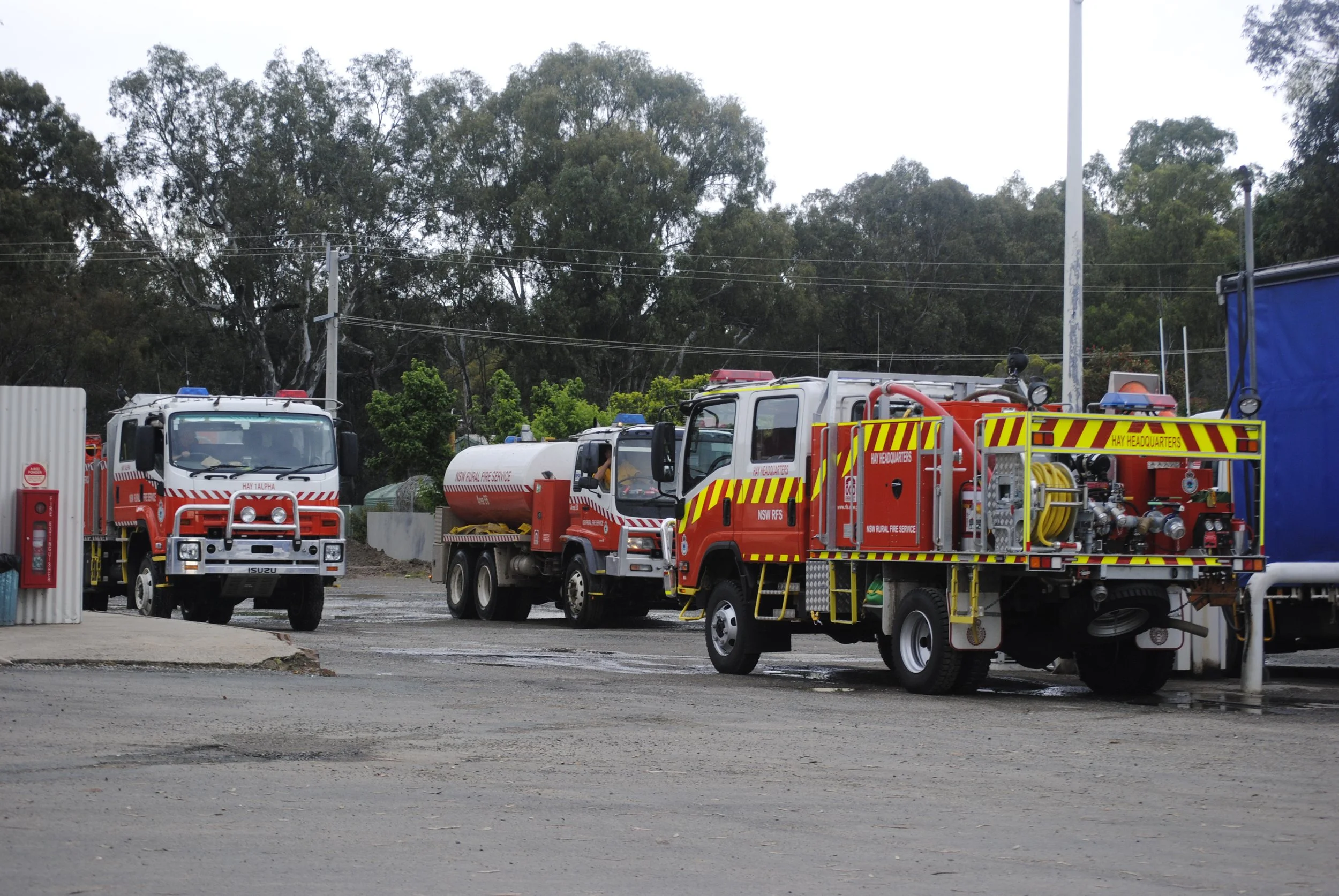
Hay Shire Council said it was prepared for the current peak level, with crews sandbagging as required and topping up levees where needed.
Council has now closed off 23 flood gates and have 31 pumps set up to remove any water from rainfall.
Flood gates continue to be closed as the river level rises and Council has asked for everyone’s patience as staff start pumps to remove water built up from rainfall, especially if there is a short sharp rainfall event such as was the case last weekend.
Council crews are also continuing to monitor the levees and inspecting known hot spots, and have staff patrolling, checking and running pumps 24hrs a day.
The water is steadily rising in Maude with levee raising works almost complete. There are empty sandbags available in front of the store and the sand is located near Short Street for residents of Maude to use. A total of 300 bags were sent to the village by Hay SES last week.
Council is expecting large inflows from the lower Mirrool Creek and Lachlan River over the coming days and weeks.
The following areas are closed due to water over road, however local residents can still access with caution: Old Thelangerin, Alma, Boxyard, Nap Nap, Hay Weir, Ti-Tree, Sidonia Road, Lara, Romani, Jerilderie and Murrumbidgee River Roads.
The Maude Road between Hay and Maude will be closed from today and is also closed between Sturt Highway and Maude Township.
There is water across the Midwestern Highway and the Cobb Highway north of Booligal is closed. The Sturt Highway is closed from Darlington Point to Gum Creek (approximately 30kms west of Darlington Point) and on the Sturt Highway between Hay and Balranald.
People are reminded to drive to the conditions. Water can create hidden hazards on the roads.
If you require flood assistance, please contact SES on 132500. Please do not attempt to cross or drive through floodwaters or along/across the top of the levee bank system.
Please only rely on official advice provided by the SES and/or Hay Shire Council. Council will provide regular updates as further information comes to hand.